Wrap web maps around 180 meridian #617
Description
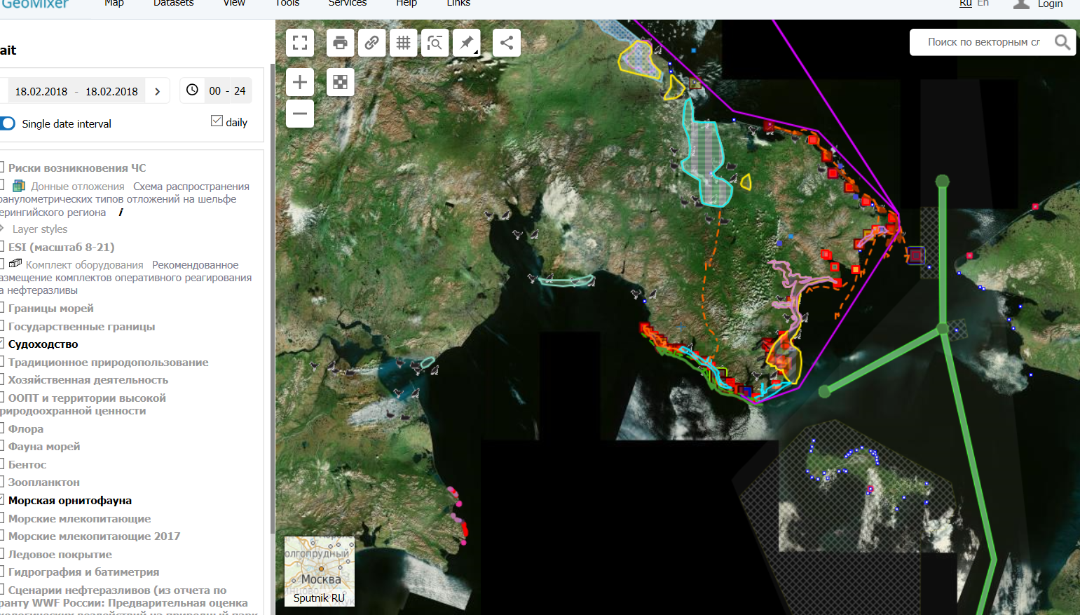
One uploads a dataset on Chukotka and puts it on the web map.
Currently, you have to scroll all the way West to the other side of the world to see what's there.
Current web map that shows this behavior: http://arctic.nextgis.com/resource/21/display
Expected: one can continue moving East to see the data.
Note: this might require additional logic when setting (or calculating) initial Web map extent at Extent tab to be able to position the initial Web map extent so that 180 meridian is at the center initially.
See JSFiddle with openlayers wrapping: http://jsfiddle.net/jt1pc7jv/
Geomixer (correct wrapping): http://m-d.me/img/ss/20180218_083348.png
Google (map on the right, nice behavior): http://pastehtml.com/view/cqow8flf0.html
Openlayers official wrapdateline example: http://openlayers.org/en/latest/examples/wms-tiled-wrap-180.html