Review of fields for Extpar Version 5.4
The replacement of the 4 Fortran modules extpar_emiss_to_buffer, extpar_cru_to_buffer, extpar_albedo_to_buffer and extpar_ndvi_to_buffer with Python/CDO scripts brought some changes in the resulting fields.
This wiki entry should briefly summarize the main changes for each field. The fields mainly changed due to different remapping methods compared to the former Fortran implementation.
These fields changed:
- NDVI, NDVI_MAX, NDVI_MRAT
- ALB_SAT, ALB_DRY
- ALB, ALUVD, ALNID
- T_CL
- EMISS_RAD
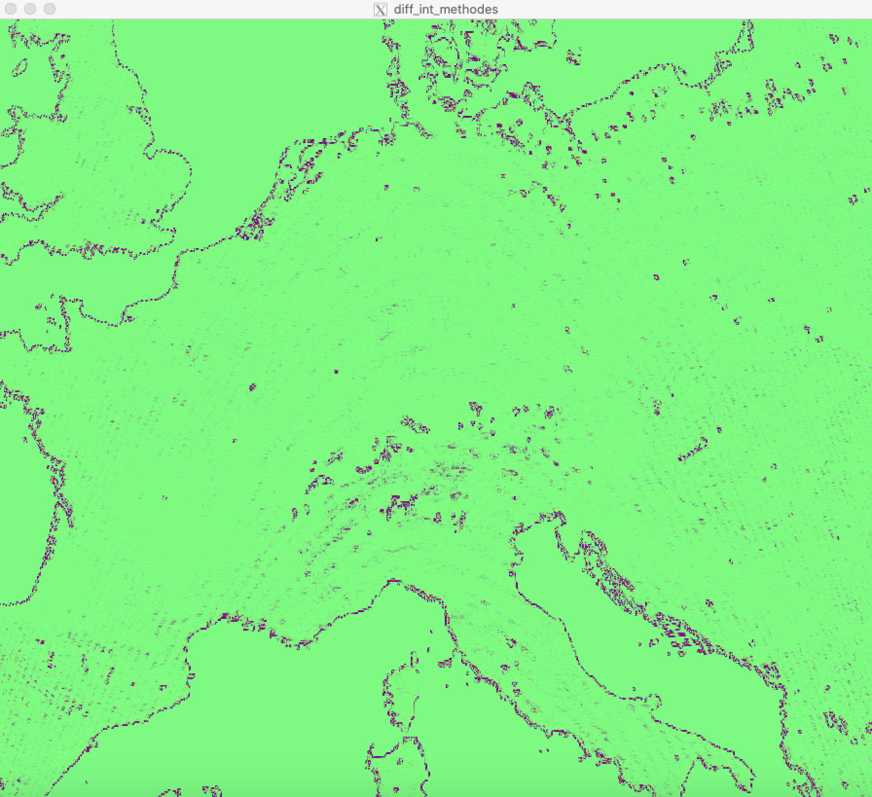
These field differ mainly at abrupt changes of the absolute values, e.g. at coastlines or in steep mountainous terrain from the Fortran implementation. In flatter or more homogeneous areas the fields are almost identical.
A bell-shaped pattern across Europe was dicovered when plotting the differences between the new and the old fields. The origin of this pattern could not be determined, in-depth investigation was not conducted, because in the normal fields on does not see this bell-shaped pattern anyway. All feature describe above can be seen in the picture below.
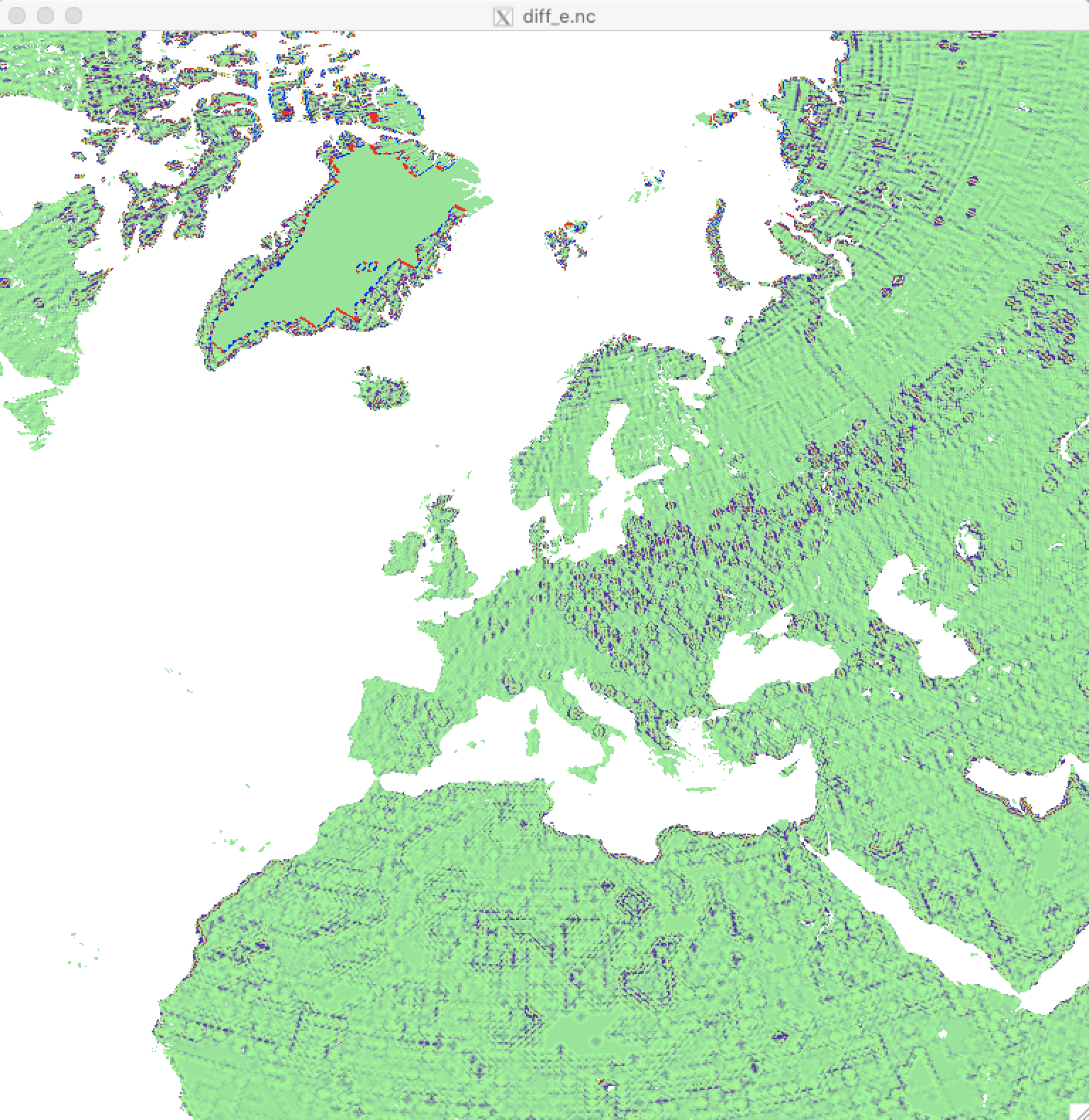
Again these fields fields differ mostly at the coastlines. Some artifical patterns related to the different remapping/intepolation method can be seen over some areas. Nevertheless the overall fields are quite similar. The picture below shows the difference between the new and the old implementation for ALB_DRY.
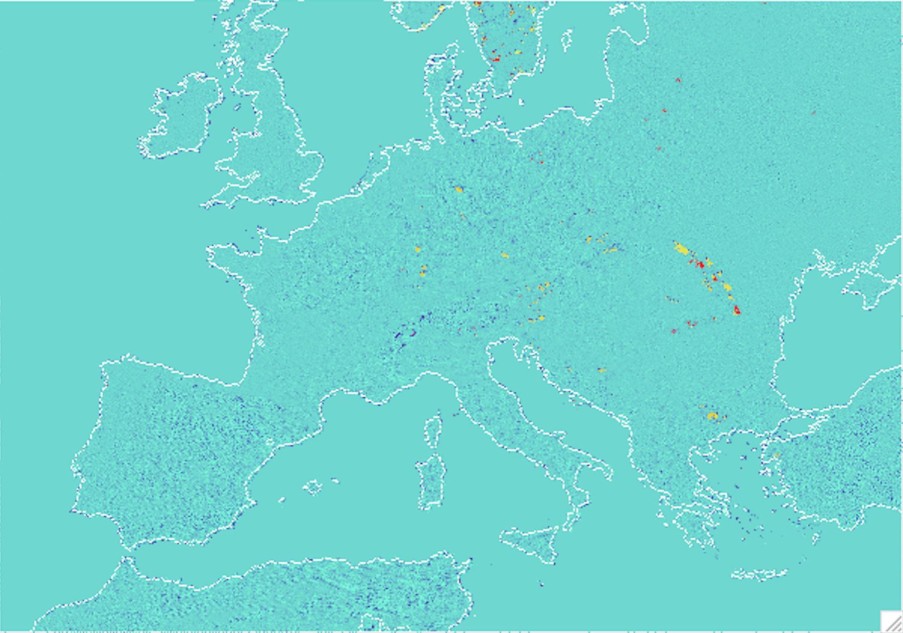
The differences are similar to thoose described above. Additionally some patches show completely different values compared to the Fortran implementation, because the Fortran interpolation algorithm could not properly assign values to each datapoint. This then lead to missing values, that are filled with albedo-values derived from soil properties. Places where exactly this happened can be found at the Carpathian Mountains or Northern Mountains in Greece.
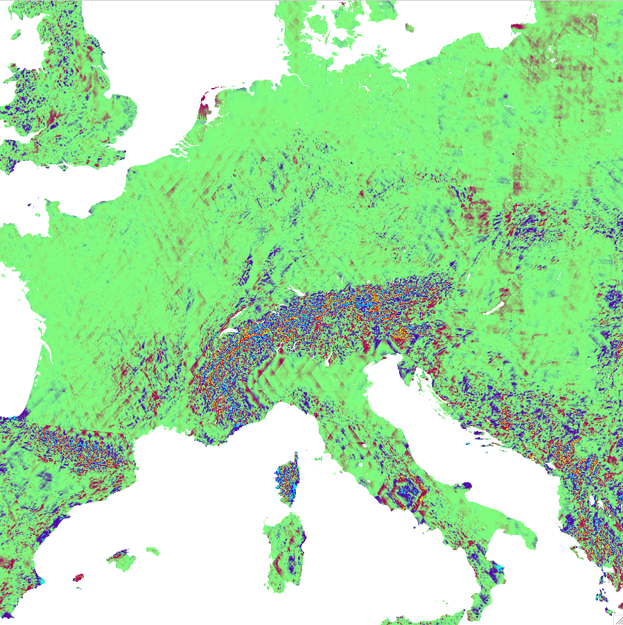
T_CL is the field most affected by changes. Especially over mountainous terrain the field appear to be completely new, if processed with the Python/CDO scripts. These big changes can be related to the relatively coarse resolution of the input data. The former Fortran remapping method has known deficiencies for remapping coarse data to fine grids and was the initial reason to use CDO for the remapping/interpolation insteas of Fortran. Therefore we assume, that the new fields are much more appropiate for T_CL.
For EMISS_RAD please have a look at the detailed review of Jürgen Helmert from DWD:
Review_DWD