![]()

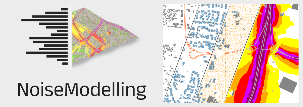
NoiseModelling is a free and open-source Java library for producing environmental noise maps from local to national scales, implementing CNOSSOS‑EU road and rail noise emission and propagation methods while linking to H2GIS and PostGIS for spatial analysis.
It responds to the need for robust noise assessment in public health and environmental planning by enabling simulation and prediction of noise propagation for mitigation design and compliance with EU regulations.
The software can be used independently or through a graphical interface and is openly available to the research, education, and professional communities.
It has been widely used for strategic noise mapping, dynamic maps driven by traffic models or sensors, sensitivity studies, and investigations of particular sources such as emergency sirens and drones.
An online documentation is available : NOISEMODELLING DOCUMENTATION.
Here you'll find a wealth of useful information, including numerous step-by-step tutorials on how to use NoiseModelling.
The current stable version of NoiseModelling can be found here: latest release
To contribute to NoiseModelling source code, please read our CONTRIBUTING guide and the "Get Started Dev" page
To ask for help or contact the development team, you can either:
- open an issue : https://github.com/Universite-Gustave-Eiffel/NoiseModelling/issues or a write a message : https://github.com/Universite-Gustave-Eiffel/NoiseModelling/discussions (we prefer these two options)
- send us an email at
contact@noise-planet.org
NoiseModelling project is leaded by acousticians from the Joint Research Unit in Environmental Acoustics (UMRAE, Université Gustave Eiffel - Cerema) and Geographic Information Science specialists from Lab-STICC laboratory (CNRS - DECIDE Team).
The NoiseModelling team owns the majority of the authorship of this application, but any external contributions are warmly welcomed.
NoiseModelling and its documentation are distributed for free and under the open-source GPL v3 licence.