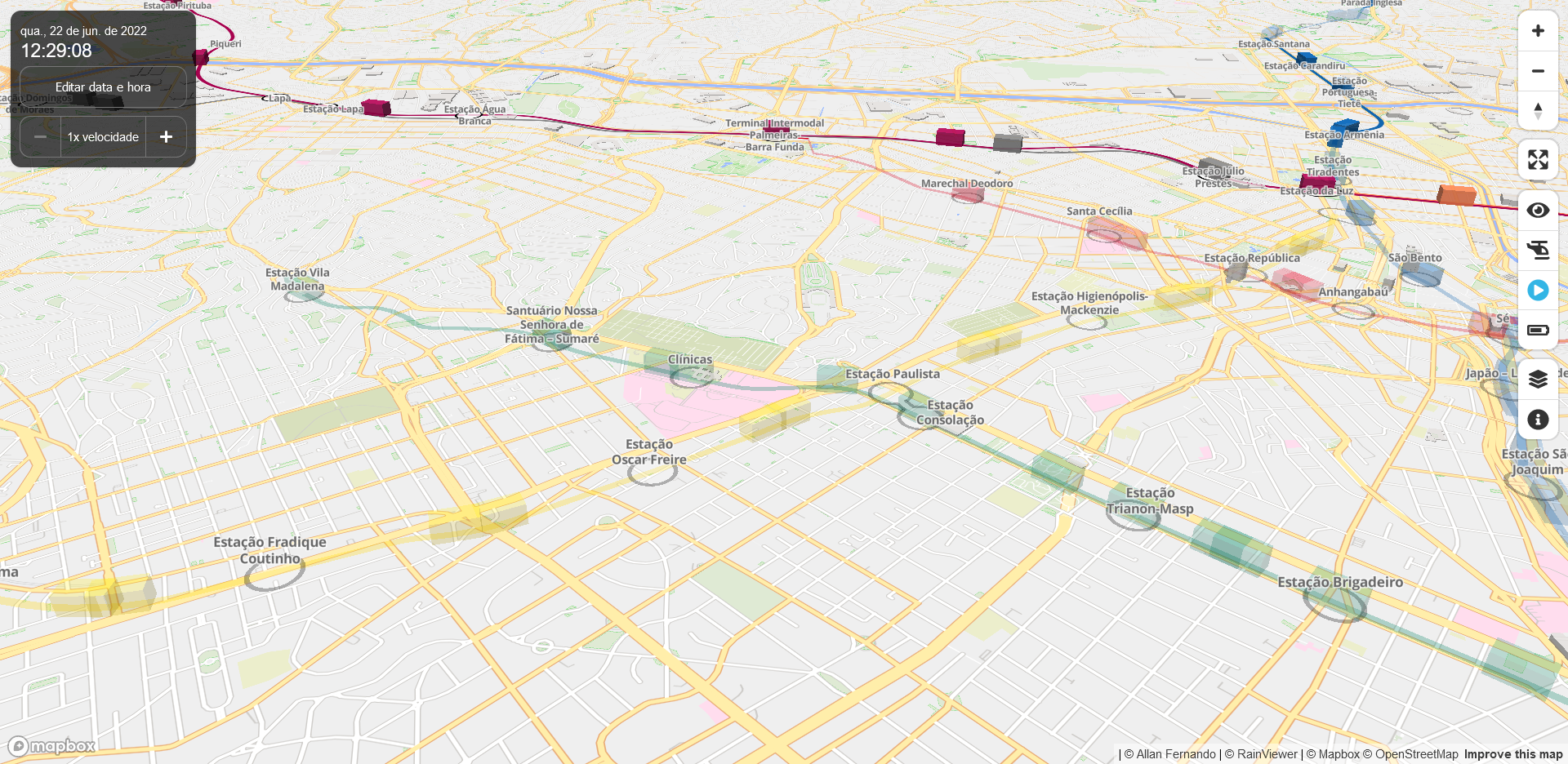
A real-time 3D digital map of São Paulo's public transport system.
See a Live Demo.
| Operation | Description |
|---|---|
| Mouse or finger drag | Pan |
| Mouse wheel rotation | Zoom in/out |
| Right click or Ctrl key + mouse drag | Tilt up/down and rotate |
| Shift key + mouse drag | Box zoom |
| Pinch in/out | Zoom in/out |
| Two-finger drag | Tilt up/down and rotate |
| Double-click or triple-tap | Zoom in |
| Shift key + Double-click or two-finger tap | Zoom out |
| Click or tap the search button | Show/hide the route search panel |
| Click or tap +/- buttons | Zoom in/out |
| Click or tap the compass button | Reset bearing to north |
| Click or tap the compass button + mouse or finder drag | Rotate |
| Click or tap the fullscreen button | Toggle the fullscreen mode |
| Click or tap the eye button | Toggle the underground mode |
| Click or tap the train/helicopter button | Switch the tracking mode |
| Click or tap the playback button | Toggle the playback mode |
| Click or tap the battery button | Toggle the eco mode |
| Click or tap the layer button | Show/hide the layer display settings panel |
| Click or tap the info button | Show/hide the app info panel |
| Click or tap a train/station | Enable tracking or select station |
| Click or tap the map | Disable tracking or deselect station |
| Hover a train/station | Show the train/station information |
Currently, the following languages are supported. Any help or contribution with translations and additional language support is always greatly appreciated.
| Language | User Interface | Map Labels | Stations, Railways, etc. | User Guide |
|---|---|---|---|---|
| English | Yes | - | Yes | Yes |
| Portuguese | Yes | Yes | Yes | - |
The data for this visualization are sourced from SPTrans.
Your support, large or small, helps keep this project strong!
-
Support with PIX (Brazil)

- Mini VLT 3D (my another project)
- Mini Tokyo 3D (the inspiration and basis for this project)